Understanding Urban Movements through Big Data and Social Simulation
Understanding Urban Movements through Big Data and Social Simulation looks at the ways that crowd-generated data through devices such as mobile phones and travel cards can help gain a clearer sense of health and crime in today’s cities.
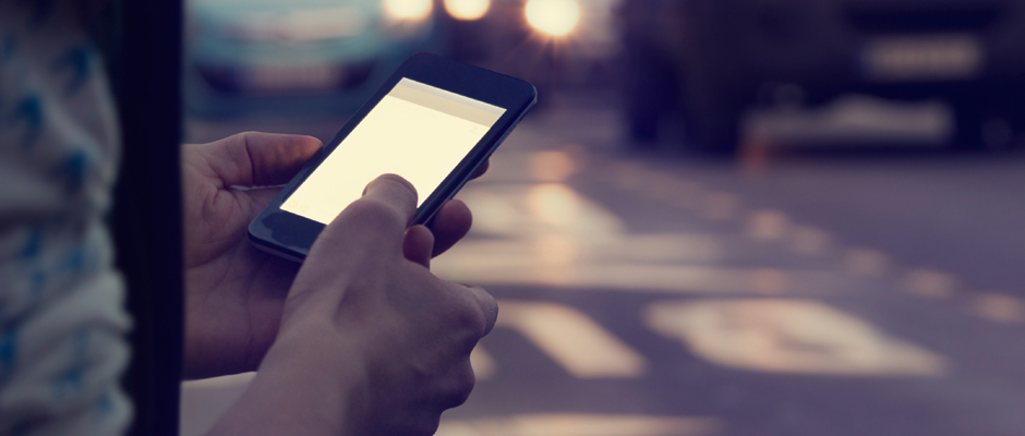
When assessing issues such as exposure to air pollution or burglary, public analysts have often been constrained by conventional measurements such as household location or residential density. However, these fail to capture the nuances of everyday behaviour and the fact that a large proportion of everyday interactions take place outside the home. New user-managed data sources, however, give a much more accurate picture of daily movement patterns within urban areas.
The research will benefit a range of stakeholders, including police, health workers and local authorities, who will be able to develop more targeted response for vulnerable populations in urban areas. The project is engaging a variety of public organisations and NGOs to maximise the benefits of the findings for their own activities.
Nick Malleson (Principal Investigator, Lecturer in Geographic Information Systems)
Development of new geographical models to collect and interpret big data on urban patterns, with a focus on crime and public health.
Creation of a computer simulation of city-wide mobility generated from crowd-source data.
Engagement and capacity strengthening of government, civil society and other stakeholders to practically apply research to crime and health issues.
Simulating the possibilities of ‘smart’ cities through smart data